In the small village of Ringelstein begins Grenzsteinweg [en: Border Stone Trail], which is a part of a forest route – the 240 km long main hiking trail of the Sauerland.
Grenzsteinweg takes its name from several boundary stones and a customs post, which mark the former border between the duchy of Westphalia and the Bishopric Paderborn.
The region is still a border area between the districts of Paderborn, Soest, and Hochsauerlandkreis. Hhowever, at times of GPS and offline available electronic maps, boundary stones no longer play an official role.
The part of Grenzsteinweg hiked first on this day leads along secluded forest paths, although occasionally the traces of the now widespread violent forest management by forest owners can already be seen here.
Video [0:04:41] “Hiking in the buff on Grenzsteinweg”:
 (90 MB) –
  (400 MB)
(90 MB) – (400 MB)
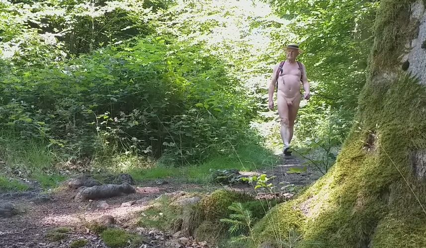
Hiking on Grenzsteinweg
The second part of the circular route then leads along forest roads typical of the Sauerland Mountains with lots of gravel – therefore, photos or video recordings of this second part of the hike were not taken.